Tuz Golu
| Landsat 8 LandsatLook Image Path 177 Row 33 Acquired 22 Mar 2020 with ROI indicated | Google Earth Image centered on Tuz Golu ROI |
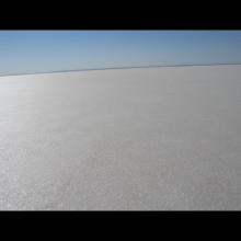
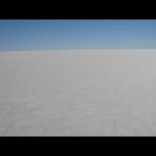
The Tuz Gölü test site is a permanent endorheic lake located in the Central Anatolian plateau of Turkey. It is 150 km southeast of Ankara and 105 km northeast of Konya. Tuz Gölü is easily accessible as well as logistically convenient and far from the influence of any bodies of water. In the summer, 95 percent of the water in the lake dries, which results in a smooth, uniform, and flat 30-80 cm thick layer of salt over a region of 500 km2. There is no vegetation on the dry salt lake [1,2].
The vicarious calibration site is used for absolute radiometric calibration.
| Location (City, State, Country): |
Central Anatolia, Turkey, Asia
|
|---|---|
| Landsat WRS - 2 Path / Row: |
177/33
|
| Center Latitude (degrees): |
N 38.83
|
| Center Longitude (degrees): |
E 33.33
|
| CEOS Region of Interest |
N 38.83, E 33.33 Search this area in EarthExplorer (Landsat 8-9 Collection 2 Level-1) - date range, datasets, cloud cover and other criteria can be modified once initial results are returned |
| Size of Usable Area (km): |
Ellipse Shaped: 16.96 km minor axis, 27.99 km major axis
|
| Altitude above sea level (meters): |
905
|
| Purpose: |
Radiometry
|
| Co-located Instrumented Networks: |
AERONET
|
| Status: |
Active
|
- Sakarya, Ufuk, Ismail Hakki Demirhan, Husne Seda Deveci, Mustafa Teke, Can Demirkesen, Ramazan Kupcu, A. Feray Oztoprak et al. "ABSOLUTE RADIOMETRIC CALIBRATION OF THE GOKTURK-2 SATELLITE SENSOR USING TUZ GOLU (LANDNET SITE) FROM NDVI PERSPECTIVE." (2016).
- Odongo, V.O.; Hamm, N.A.S.; Milton, E.J. Spatio-Temporal Assessment of Tuz Gölü, Turkey as a Potential Radiometric Vicarious Calibration Site. Remote Sens. 2014, 6, 2494-2513.
- Gurbuz, Sevgi & Özen, H. & Chander, G.. (2012). A survey of LANDNET sites focusing on Tuz Gölü salt lake, Turkey. ISPRS - International Archives of the Photogrammetry, Remote Sensing and Spatial Information Sciences. XXXIX-B1. 115-120. 10.5194/isprsarchives-XXXIX-B1-115-2012.
- Gürbüz, S. Z., H. Özen, S. Gürol and Wg Vi. “CHARACTERIZATION OF THE SPATIAL UNIFORMITY OF THE TUZ GÖLÜ CALIBRATION TEST SITE.” (2010).
- Gürol, Selime & Ozen, Hilal & Leloglu, Ugur & Tunali, Erol. (2008). Tuz Gölü: New absolute radiometric calibration test site.
Note: This information has been compiled by the USGS ECCOE Team, using the best sources currently known. Updates will be made as more information becomes available. Please contact eccoe@usgs.gov with any updates you would like to contribute.


